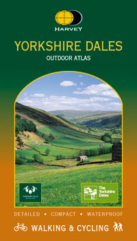
Harvey Yorkshire Dales Outdoor Atlas
Maps of the whole of the Yorkshire Dales National Park in one handy book.
Spiral bound to lie flat in the hand
Waterproof for outdoor use
Detailed mapping. Scale 1:40,000.
Shows public footpaths and bridleways
Can be used with GPS
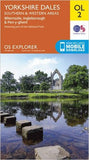
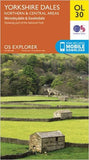
Spiral bound to lie flat in the hand
Waterproof for outdoor use
Detailed mapping. Scale 1:40,000.
Shows public footpaths and bridleways
Can be used with GPS
What about adding one of these?..